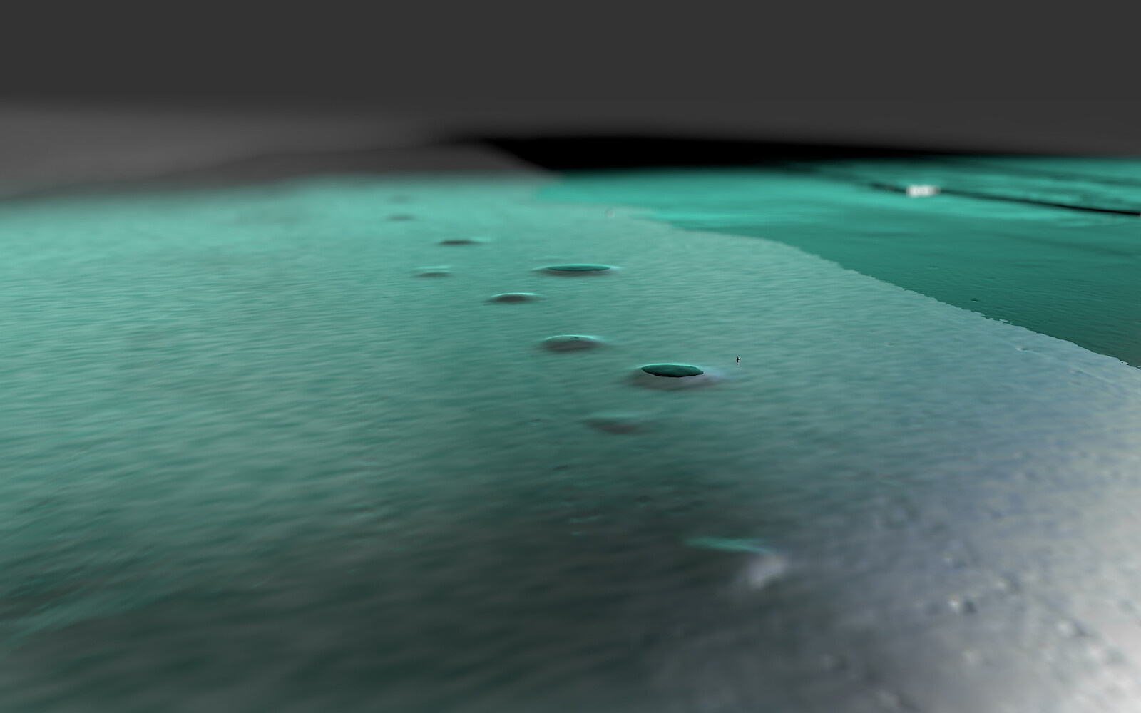
Sunken Landscape
Representations of Three-Dimensional Landscape Survey Data and Their Influence on Archaeological Hypothesis Building
When locations are difficult to access, terrain data provide the only visually linked information. How does their representation influence archaeological hypothesis building? This exploratory search for answers uses multibeam echosounder data from the so-called «Bodensee-Hügeli», a series of ancient, man-made piles of stones in Lake Constance.